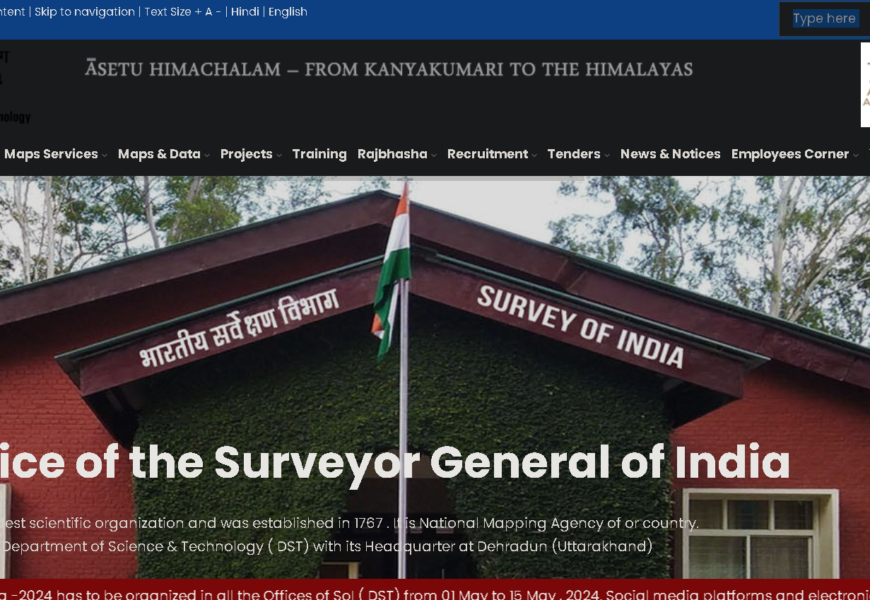
The website surveyofindia.gov.in is the official portal of the Survey of India, which is the national survey and mapping organization of India. Established in 1767, it plays a crucial role in providing accurate geospatial data and maps for various purposes, including development planning, disaster management, and resource management. Here are some key features of the site:
Key Features
- Mapping Services: The Survey of India provides various maps, including topographical, thematic, and administrative maps that are essential for government planning and public use.
- Geospatial Data: Access to geospatial data and services that support applications in urban planning, environmental monitoring, and infrastructure development.
- Surveying Techniques: Information on modern surveying techniques and technologies used by the organization, including GPS, GIS, and remote sensing.
- Publications and Resources: A repository of research papers, reports, and publications related to surveying and mapping in India.
- Online Services: Various online services, such as map requests, application forms for licenses, and information about the Survey of India’s projects.
- Educational Resources: Information on training programs and workshops conducted by the Survey of India to enhance skills in surveying and mapping.
- Contact Information: Details for reaching out to the Survey of India for inquiries, collaborations, or feedback.
Importance
The Survey of India is essential for providing reliable data that supports national development, environmental conservation, and disaster management. Its mapping services are widely used by government agencies, researchers, and the public for informed decision-making.
Visited 4 times, 1 visit(s) today


")
")

")

