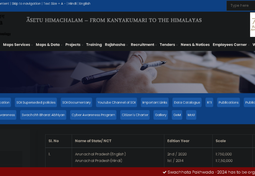
The Survey of India website, accessible at Survey of India State Maps, provides a comprehensive collection of maps for various states and union territories in India. This resource is essential for anyone interested in geographical, administrative, and topographical information about the country.
Key Features
- State Maps:
- The website offers detailed maps for each state and union territory, showcasing geographical features, administrative boundaries, and significant landmarks.
- Maps are available in various formats, including physical, political, and thematic representations.
- Topographical Information:
- Users can access topographical maps that illustrate the terrain, elevation, and natural features of different regions.
- These maps are useful for researchers, planners, and outdoor enthusiasts.
- Administrative Boundaries:
- The maps delineate administrative boundaries, including districts, talukas, and other local governance units.
- This information is crucial for understanding the administrative structure and jurisdictional divisions within states.
- Downloadable Resources:
- Many maps are available for download, allowing users to access high-resolution versions for personal or professional use.
- The site may also provide tools for viewing and interacting with maps online.
Importance
- Geographical Reference:
- The state maps serve as a valuable reference for students, educators, and professionals in fields such as geography, urban planning, and environmental studies.
- They help in understanding the spatial relationships and geographical diversity of India.
- Planning and Development:
- Government agencies and NGOs can utilize these maps for planning development projects, conducting surveys, and implementing policies.
- The maps assist in resource management and disaster preparedness by providing critical geographical data.
Conclusion
The Survey of India State Maps page is a vital resource for anyone seeking detailed geographical and administrative information about India. It supports a wide range of applications, from academic research to practical planning and development efforts.
Visited 1 times, 1 visit(s) today


