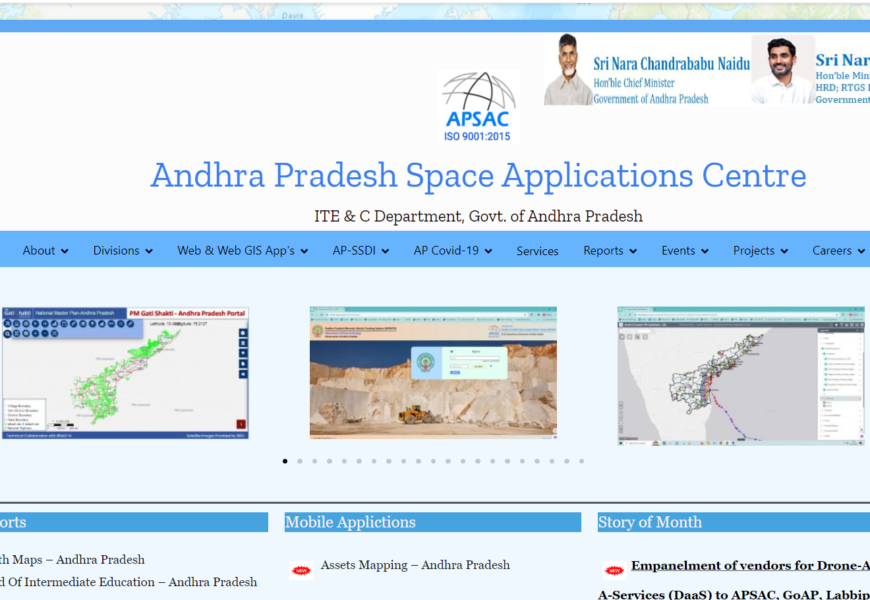
APSAC uses space technology, remote sensing, and geographic information systems (GIS) to support the state’s planning and development. It provides satellite-based data for various sectors such as agriculture, urban planning, and disaster management.(https://apsac.ap.gov.in/)
Visited 72 times, 1 visit(s) today


")
")
")


