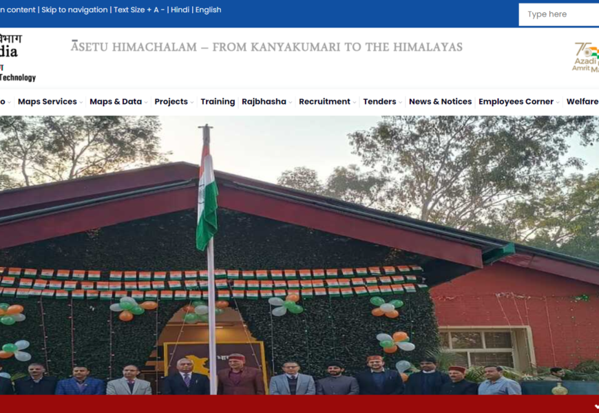
The Survey of India website (https://www.surveyofindia.gov.in/) serves as the national mapping agency of India, under the Ministry of Science and Technology. It is responsible for surveying and mapping the country’s land resources, producing topographic maps, and providing geospatial data and services to various government agencies and the public.
Features
- Mapping Services: Provides access to topographic maps, thematic maps, and geospatial data related to land use, urban planning, and natural resources.
- Geospatial Information: Offers geospatial data and services to support various sectors such as agriculture, forestry, and disaster management.
- Digital Initiatives: Implements digital mapping initiatives, enhancing accessibility to mapping resources through online platforms.
- Publications and Reports: Includes a repository of reports, guidelines, and standards related to surveying and mapping.
Impact
The Survey of India plays a crucial role in national development by providing accurate and reliable geospatial information, which aids in effective decision-making for infrastructure development, environmental management, and disaster response.
For more information, you can explore their official website here.
Visited 1 times, 1 visit(s) today


